
Best Hikes in Hakone: 9 Trails Ranked by Difficulty
Hakone has far more hiking than the sightseeing loop suggests. Historic stone highways climb from post towns, outer-rim ridges face Mt Fuji, waterfall paths begin near railway stations and volcanic peaks rise above Lake Ashi.
The best Hakone hike depends on your time, fitness and reason for walking. A short historic trail may be more rewarding than a summit if you love culture. A ridge traverse may be worth the effort if wide views matter most.
This guide ranks nine Hakone hiking routes from gentle to very difficult. Distances from official sources refer to named trail sections and may not include station approaches, road connections or the return journey.
Last conditions review: July 16, 2026. Hakone has active volcanic terrain, changing weather and occasional closures. Check official conditions on the day you hike.
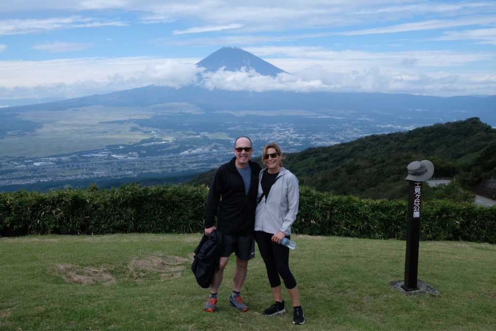
Hakone hiking trails compared
| Hike | Difficulty | Best for | Key feature |
|---|---|---|---|
| Lake Ashi Lakeshore | 1/5 | Gentle nature experience | Quiet shoreline and forest |
| Hakone Valley Walk | 1/5 | Beginners and families | River valley and wagashi |
| Chisuji Falls and Sengen-yama | 2/5 | Short independent hike | Waterfall and woodland |
| Old Tokaido heritage walk | 2/5 short / 3/5 full east side | History lovers | Cobblestones and teahouse |
| Yusaka Road | 3/5 | Quiet historic trail | Medieval mountain road |
| Mt Kintoki | 3/5 | First Hakone summit | Close Mt Fuji view |
| Myojingatake–Mt Kintoki ridge | 4/5 | Fit hikers | Caldera panoramas |
| Komagatake–Kamiyama | 4/5 | Volcanic scenery | Central cone and Lake Ashi |
| Complete Hakone Hachiri | 5/5 in one day | Endurance hikers | 32 km Japan Heritage route |
These ratings consider more than distance. Uneven stone, elevation change, exposure, navigation, transport and the length of the complete day all matter. Read the Coconuts Hike Japan difficulty scale before choosing.
1. Lake Ashi Lakeshore — gentlest Hakone nature route
Difficulty: 1/5 · Typical guided experience: about 3 hours · Best for: a quiet, gentle walk with Lake Ashi scenery
The quieter lakeshore near Moto-Hakone combines woodland, water views and an easy pace. It is closer to a mindful nature walk than a conventional mountain hike, with long pauses to notice sound, light, scent and the movement of the lake.
Choose this route when you want Hakone nature without a summit, steep climb or long day. The guided shinrin-yoku experience starts and finishes near Moto-Hakone, making it easier to combine with other Lake Ashi sightseeing.
See the Lake Ashi lakeshore shinrin-yoku experience.
2. Hakone Valley Walk — easiest family hike
Difficulty: 1/5 · Typical walk: about 3 km · Best for: families, first-time hikers and a relaxed half-day
This gentle route follows a green river valley away from Hakone’s busiest sightseeing areas. The walking is shorter and lower than the mountain routes in this guide, with time to notice forest details, small shrines and the water rather than concentrating on steep terrain.
The guided version ends with a traditional wagashi shop. Choose it when someone in the group wants nature but not a strenuous climb.
See the Hakone Valley Easy Walk and Wagashi tour.
3. Chisuji Falls and Sengen-yama — best short independent hike
Difficulty: 2/5 · Official named section: approximately 2.3 km · Best for: a short walk near the train line
The trail from Kowakudani passes Chisuji Falls before climbing through woodland toward Sengen-yama. The waterfall is small—about 3 m high and 12 m wide—but its many fine streams make it a pleasant rest point.
This is a useful option when you want a real woodland path without committing the entire day. The approach and return add time beyond the official named section. After rain, the path around the falls can be muddy.
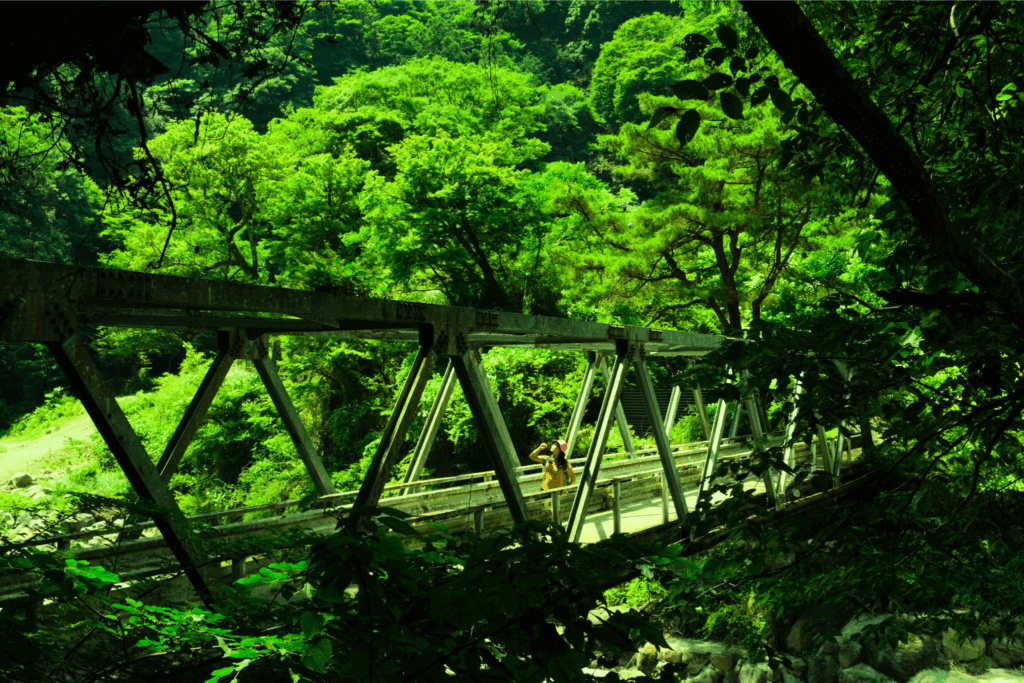
4. Old Tokaido Road — best Hakone hike for history
Difficulty: 2/5 for a selected section; 3/5 for the full east side · Official stone route: approximately 9.5 km · Best for: history, culture and forest
The Old Tokaido combines preserved cobblestones, cedar forest, Hatajuku woodcraft, Amazake Chaya and Lake Ashi. A short version beginning at Amazake Chaya keeps the strongest heritage features while avoiding the steep traffic-exposed roadside climb.
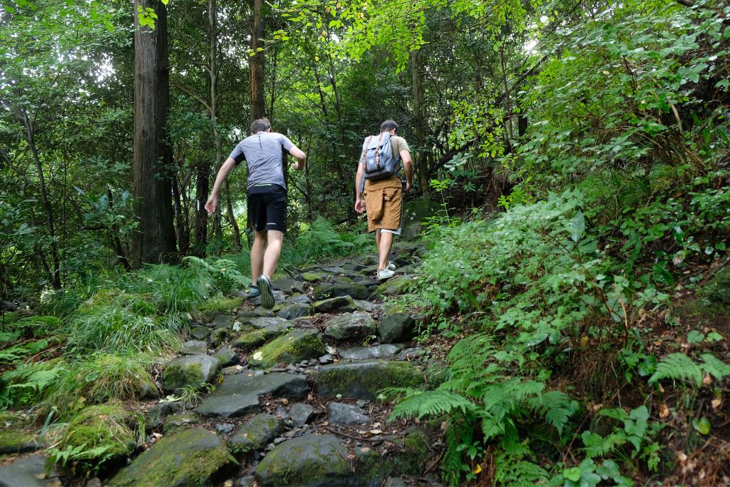
The stones are irregular and become slippery in rain, so a historic route is not automatically an easy footpath. Aki recommends travelling from Hakone-Yumoto toward Lake Ashi when walking the east side.
Plan it with the self-guided Old Tokaido Road guide, or compare the half-day guided hike and full-day Hakone Hachiri tour.
5. Yusaka Road — best quiet historic trail
Difficulty: 3/5 · Official distance: approximately 6.5 km · Best for: woodland, history and fewer famous stops
Before the Edo-period Tokaido route became dominant, travelers crossed Hakone using the older Yusaka Road. The trail links the Hakone-Yumoto side with Ashinoyu through Yusaka-yama and Sengen-yama.
On clear days, official route information notes views toward Sagami Bay and even the Boso Peninsula. It is quieter than the Old Tokaido but has fewer facilities and less obvious transport along the trail, so plan the finish before starting.
Need help choosing the right Hakone hike?
Compare the tours by time, difficulty and interests, then ask Aki which route fits your group and date.
6. Mt Kintoki — best first Hakone summit
Difficulty: 3/5 · Kintoki Shrine trail: approximately 2.1 km one way · Best for: a summit and close Mt Fuji views
Mt Kintoki is the highest point on Hakone’s outer rim and one of the area’s best-known summits. The Kintoki Shrine route begins near Sengokuhara and climbs through forest before joining the exposed upper mountain.
On a clear day, Fuji feels unusually close. Cloud can hide it completely, so choose Mt Kintoki because you enjoy climbing—not because one photograph is guaranteed. The final part can feel steep, rocky and slippery after rain.
If descending by a different trail, confirm the bus connection at the finish. Official Hakone information also warns that the Kintoki Shrine route does not have a dedicated free hikers’ car park.
7. Myojingatake to Mt Kintoki — best ridge traverse
Difficulty: 4/5 · Official ridge section: approximately 5.9 km · Best for: fit hikers and caldera views
This outer-rim traverse links two major summits above the Hakone caldera. The official 5.9 km figure covers the ridge section; the full hiking day is longer after climbing to Myojingatake and descending from Mt Kintoki.
The rewards are changing views across the central volcanoes, Lake Ashi, Fuji and the Pacific side. The route has repeated climbing and descending, exposed weather and long stretches without easy exits.
The Hakone Caldera Rim guided hike is the strongest match for travelers who want a demanding mountain day followed by an onsen.
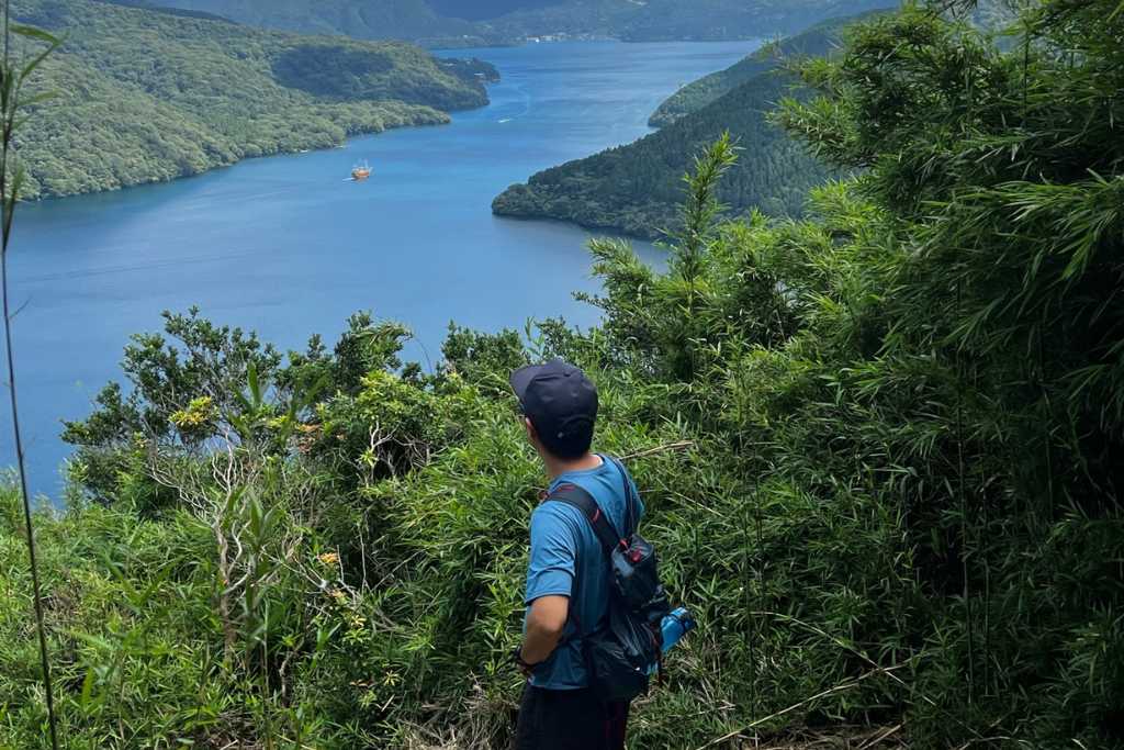
8. Komagatake to Kamiyama — best volcanic landscape
Difficulty: 4/5 · Best for: experienced hikers comfortable with steep volcanic terrain
The route between Komagatake and Kamiyama reopened in March 2025 after repair work and monitoring. Access to the Komagatake summit is possible by ropeway from Hakone-en, and the open network can connect toward Bōg a sawa and the lakeshore therapy road.
This area requires special care. Some nearby trails toward Owakudani and Sounzan remain closed, and official advice says to descend immediately if you smell volcanic gas. Do not build an itinerary from an old blog or map screenshot. Check the current official restriction page on the day.
Remain on the marked trail. Hakone Town also advises that deer-control work is taking place in the Komagatake and Kamiyama area from June 8, 2026 to February 28, 2027.
9. Complete Hakone Hachiri — best endurance challenge
Difficulty: 5/5 in one day · Distance: approximately 32 km · Best for: experienced endurance hikers and trail runners
The complete Japan Heritage route runs from Odawara to Mishima via Hakone-Yumoto, Lake Ashi and Hakone Pass. Official information estimates about 9 hr 50 min without breaks and recommends a two-day sightseeing itinerary for most visitors.
Aki’s advice is simple: split it into two days or use buses to skip road-heavy and less interesting sections. Completing every kilometre is not required to understand the route.
Read the complete Hakone Hachiri guide before planning.
Which Hakone hike should you choose?
- Want the gentlest option: Lake Ashi Lakeshore.
- New to hiking or travelling with family: Hakone Valley Walk.
- Only two or three hours: Chisuji Falls or a short Old Tokaido section.
- Love Japanese history: Old Tokaido Road or selected Hakone Hachiri sections.
- Want a summit without a full ridge traverse: Mt Kintoki.
- Fit and want the biggest views: Myojingatake–Mt Kintoki.
- Want volcanic terrain: Komagatake–Kamiyama, only after checking current restrictions.
- Want the day designed around your pace: a private custom Hakone tour.
Aki’s personal favourite nature experience is forest bathing at the historic temple followed by lunch and onsen. For an even gentler experience with long pauses beside the water, choose shinrin-yoku beside Lake Ashi.
Best season for hiking in Hakone
Spring
Comfortable temperatures and new leaves make spring a strong general season. Golden Week can bring crowded transport, while higher ridges remain cooler than Odawara.
Summer
Forest routes provide shade, but humidity, heat and thunderstorms increase the physical demand. Carry more water than you expect to need and start mountain routes early.
Autumn
Clearer air and foliage make autumn popular. Buses and roads can be slow on peak weekends, so leave more transport margin than the walking map suggests.
Winter
Fuji visibility can be excellent, but ice, short daylight and cold wind change the risk. Mountain routes may require winter experience and equipment even when streets near the station are dry.
Essential Hakone hiking safety
- Check official closures, volcanic restrictions, rain warnings and bear information before departure.
- Use grippy hiking or walking shoes; wet cobblestones and roots are slippery.
- Download a route and keep the return bus stops available offline.
- Use toilets before entering longer trails and carry water.
- Turn around or shorten the route when weather, daylight or fitness changes.
Read the Hakone hiking safety guide and Hakone rain and weather guide.
Hike Hakone with Aki
Owner and certified guide Akihiro “Aki” Wada personally leads Coconuts Hike Japan tours. Most regular tours may combine compatible bookings into one small group; the Highlight of Hakone custom tour is private.
History: Old Tokaido half-day hike or Hakone Hachiri full-day tour.
Mountain challenge: Hakone Caldera Rim hike with onsen.
Gentle walking: Hakone Valley Walk and wagashi shop.
Flexible day: Private custom Hakone guide.
Hakone hiking FAQs
What is the easiest hike in Hakone?
The Lake Ashi lakeshore shinrin-yoku route is the gentlest guided nature option. The Hakone Valley Walk is the easiest conventional walking tour, while Chisuji Falls is a useful short independent route.
What is the best Hakone hike for Mt Fuji views?
Mt Kintoki and the Myojingatake–Kintoki ridge have excellent Fuji views in clear weather. No viewpoint can guarantee visibility.
Can beginners hike Mt Kintoki?
Active beginners with good footwear can hike Mt Kintoki in suitable conditions, but the upper trail is steep and rocky. Allow time and turn back if weather deteriorates.
Can I hike near Owakudani?
Some trails near Owakudani remain closed even though the Komagatake–Kamiyama section is open. Check the current Hakone Town restriction page immediately before hiking.
Do I need a guide to hike in Hakone?
No. Many marked routes can be walked independently. A guide is useful for route selection, transport, local history and adapting the day to conditions.
How many days do I need for Hakone hiking?
One day is enough for one selected hike. Allow two days if you want both a historic route and a mountain hike, or if you plan the complete Hakone Hachiri.
Official route and conditions sources
- Hakone Tourism Association: all official hiking courses
- Official Mt Kintoki Shrine route
- Official Myojingatake–Mt Kintoki ridge route
- Official Yusaka Road route
- Official Chisuji Falls and Sengen-yama route
- Official Old Tokaido east-side route
- Hakone Town: Komagatake–Kamiyama opening and warnings
- Hakone Town: current traffic and hiking restrictions
Continue planning your Hakone trip
- Best time to hike in Hakone (guide coming soon)
- Hakone Freepass for hikers (guide coming soon)
- Is Hakone worth visiting? (guide coming soon)
- Hakone two-day itinerary (guide coming soon)