
Old Tokaido Road Hike: A Local Guide to Hakone’s Historic Trail
The Old Tokaido Road crosses Hakone on the mountain route that once connected Edo—modern Tokyo—with Kyoto. Its Hakone Hachiri section is now recognized as Japan Heritage, and preserved stretches of stone paving still lead through cedar forest, historic villages and the hills above Lake Ashi.
This guide focuses on the eastern Hakone section between Hakone-Yumoto and the Lake Ashi area. The official stone-paved route is approximately 9.5 km, while the complete Hakone Hachiri between Odawara and Mishima is about 32 km. They are not the same walk, so check the route name carefully when planning.
Last route-information review: July 16, 2026. Trail and transport conditions can change; always check the official links near the end of this guide before leaving.
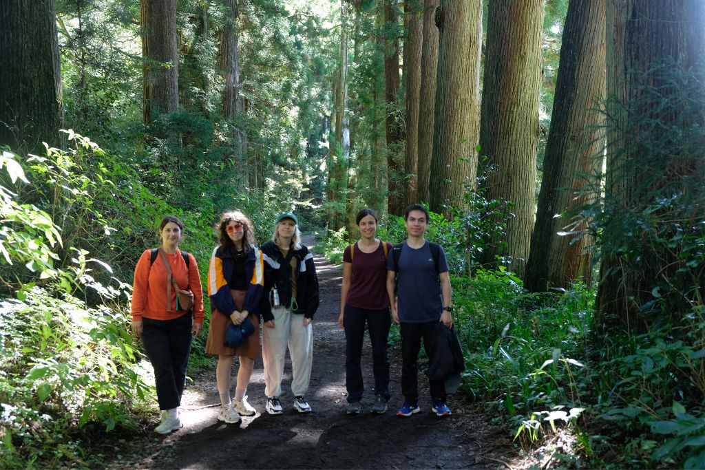
Old Tokaido Road hike at a glance
| Main section in this guide | Hakone-Yumoto to Moto-Hakone / Lake Ashi |
|---|---|
| Official stone-route distance | About 9.5 km (5.9 miles) |
| Difficulty | 3/5 for the full section; shorter options are possible |
| Terrain | Uneven stone paving, forest paths, steep slopes and some paved road |
| Time needed | Allow most of a day for the full route with breaks and historic stops |
| Key stops | Hatajuku, Amazake Chaya, Lake Ashi, Cedar Avenue and Hakone Checkpoint area |
The route is historic, but it is not a museum walkway. The cobblestones can be wet, irregular and tiring. Good footwear matters more than speed.
Choose the right Old Tokaido route
Option 1: Hakone-Yumoto to Lake Ashi
This is the fuller east-side experience. It combines the climb from the Yumoto area, preserved cobblestones, Hatajuku, Amazake Chaya and the approach to Lake Ashi. The official Hakone tourism route lists approximately 9.5 km via the stone-paved course.
Choose this option if you are comfortable spending most of the day outdoors on uneven ground. The historical atmosphere is excellent, but the combination of climbing, stone surfaces and stops makes the day feel longer than the distance suggests.
Recommended direction: Aki recommends starting from Hakone-Yumoto and travelling toward Lake Ashi. This direction follows the story of travelers climbing into Hakone, with the lake area as the finish.
Option 2: A shorter heritage sampler
Use the Old Tokaido bus route to begin at Amazake Chaya, Aki’s recommended starting point for the shorter option, then walk selected preserved sections toward Moto-Hakone. This keeps the cobblestones, teahouse and Lake Ashi atmosphere while reducing the total walking.
Bus timetables and stopping patterns change, so confirm the same-day schedule before relying on a particular exit point. Do not assume every roadside stop has frequent service.
Aki’s local advice: take the bus around the steep roadside section
Do not walk the steep roadside stretch just to cover every metre of the route. Aki recommends taking the bus past this section and beginning the shorter walk at Amazake Chaya. You would otherwise be climbing beside moving traffic and breathing vehicle exhaust, which is both unpleasant and potentially dangerous. Save your energy for the preserved cobblestones and forest trail.
Option 3: Guided half-day or full-day
The half-day Old Tokaido hike uses selected trail sections for a shorter experience. The full-day Hakone Hachiri tour combines walking and transport to continue across the historic route toward Mishima.
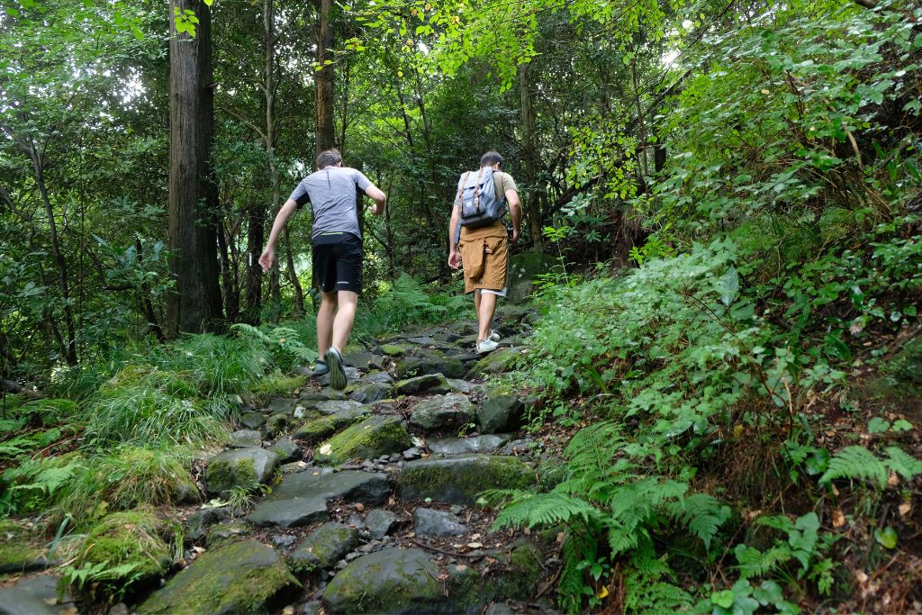
Walk the best Old Tokaido sections with Aki
A guide can connect the cobblestones, teahouse and road history while using transport to skip the traffic-exposed climb.
What you will see along the route
1. Hakone-Yumoto and the old highway entrance
Hakone-Yumoto is the practical transport base for the eastern side of the route. Before leaving the station area, use the toilet, check your water and confirm the final bus options for later in the day.
2. Forest paths and preserved cobblestones
The stone paving is the defining feature of the Old Tokaido in Hakone. It was developed because the earlier mountain road became extremely muddy. The surface that preserves the route’s history also makes it harder to walk: stones can be rounded, uneven and slippery after rain.
3. Hatajuku and yosegi woodcraft
Hatajuku is associated with Hakone yosegi-zaiku, the local geometric woodcraft made from contrasting natural colors of wood. It is worth allowing time for the village rather than treating it only as a point on a hiking map.
4. Amazake Chaya
Amazake Chaya has served travelers on this road for centuries. Its amazake is traditionally made with koji, giving it sweetness without added sugar. Opening details can change, so check the official listing rather than planning around an old blog timetable.
5. Lake Ashi, Cedar Avenue and the checkpoint area
Near the lake, the atmosphere changes from enclosed forest to open water and historic roadside scenery. The old cedar avenue dates to the early Edo period; official Hakone information describes roughly 400-year-old trees and about 412 surviving giants. Mt Fuji may appear in clear conditions, but it is never guaranteed.

How difficult is the Old Tokaido Road hike?
The full east-side route is moderate rather than technical. The main challenges are sustained uneven ground, climbs and descents, and slippery stone—not exposure or scrambling. Active beginners may enjoy a shorter section, while the full 9.5 km route is better for walkers already comfortable spending several hours on trails.
Walking downhill is not automatically easy. Descending wet cobblestones can place more stress on knees and requires careful foot placement. Uphill is more demanding on the lungs. Choose direction based on your fitness and transport plan, not only the contour line.
What to bring
- Walking or hiking shoes with reliable grip; avoid smooth-soled fashion shoes.
- Water and a small snack, even if you plan to stop at the teahouse.
- A waterproof outer layer and quick-drying clothing.
- Sun protection in exposed areas near Lake Ashi.
- A charged phone, offline map or downloaded route, and a backup transport plan.
- Cash and a charged transport card for buses and small purchases.
Read the Hakone hiking safety guide and rain and weather guide before your walk.
Weather, seasons and trail conditions
Spring and autumn are popular, but Hakone’s mountain weather can differ from Tokyo. Rain makes the forest atmospheric and the stones slippery. Summer can be humid, and winter mornings can bring cold or icy patches.
Check the Hakone Town traffic and hiking restrictions page immediately before the walk. The town warns that rain can leave hiking courses muddy and that fallen trees or other local problems can occur. Conditions may change after this article’s review date.
Getting there and returning
Hakone-Yumoto is reached by train from Odawara. Moto-Hakone and the Old Tokaido roadside stops are served by buses, but journey times can increase during weekends, holidays and busy foliage periods.
Toilets and bus stops: Facilities and bus stops are available at points along the route, including the main settled and visitor areas, but not continuously on the forest sections. Use a toilet when one is available and save the names of the bus stops you may need before starting.
Navigation warning: Do not follow a phone map blindly if it sends you onto an unpleasant roadside section. Keep the hiking route available offline, follow local signs and use the bus to bypass the steep traffic-exposed stretch.
Plan the return before starting. Save the names of more than one useful bus stop and allow extra time if you need a specific train from Odawara. If the group is tired, weather worsens or daylight is running short, leave the trail at a safe access point rather than forcing the original plan.
Self-guided or guided?
A self-guided walk works well for experienced independent travelers who can manage navigation, bus changes and changing conditions. A guide adds historical context, selects the best-preserved sections for the available time and handles the transport connections between them.
Coconuts Hike Japan is a one-guide operation. Owner and certified guide Akihiro “Aki” Wada personally leads Coconuts Hike Japan tours. Most regular tours may combine compatible bookings into one small group; the Private Guide Custom Tour is private.
Walk the Old Tokaido with Aki
Half-day Old Tokaido hike — about 3.5 hours.
Full-day Hakone Hachiri tour — about 8 hours.
Old Tokaido Road hike FAQs
How long is the Old Tokaido Road hike in Hakone?
The official Hakone-Yumoto to Hakone stone-paved route is about 9.5 km. Allow most of a day if you want time for breaks, Hatajuku, Amazake Chaya and Lake Ashi.
Is the Old Tokaido suitable for beginners?
Active beginners can enjoy a shorter section. The full route is better for people comfortable walking for several hours on uneven stones and forest paths.
Can I walk it after rain?
Light rain does not automatically close the route, but cobblestones can become slippery and local damage can occur. Check official conditions and use footwear with good grip.
Will I see Mt Fuji?
Mt Fuji views are possible near Lake Ashi in clear conditions, but cloud and haze are common, so a view is never guaranteed.
Can I shorten the route using a bus?
Yes. Aki recommends taking the bus past the steep roadside section and starting the shorter walk at Amazake Chaya. Confirm current timetables and the final return service before starting.
Is this the complete Hakone Hachiri?
No. Hakone Hachiri is the approximately 32 km historical section between Odawara and Mishima. This guide focuses on the commonly walked eastern section between Hakone-Yumoto and Lake Ashi.
Continue planning your Hakone trip
- Hakone Hachiri complete guide
- Amazake Chaya history and visit guide (coming soon)
- Hakone Freepass for hikers (coming soon)
- Is Hakone worth visiting? (coming soon)